Surely on some occasion you have heard about the need to have the criteria of a surveyor truth? And although it has not sounded strange to you, you may have wondered what exactly its function is ... well, we are going to explain a little about this interesting professional specialty, how you can study it in Spain and that or those other sciences that it is directly associated with. .
The term topography It is of Greek origin and is in turn composed of two words: "topo" (place) and "graphs" (drawing / representation). This can give us a general idea of the main objective of this profession, which refers to the fact of making graphical representations of a place, in this case of the earth's surface. Said representations are made based on different calculation operations that give extremely accurate results. The work of measurement, calculations and the representation of these on a map or topographic sketch is what is known as topographic survey.
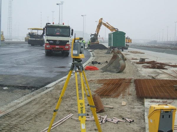
While the topography can cover small strips or extensions of land, through flat representations, the Geodesy (another science that is incorporated into Topography) covers a larger representative scale and to a greater extent. The surveyor uses various instrumentation to measure the coordinates and dimensions of the earth's surface (compass, theodolite, odometer, ...) as well as specific and precise software for the preparation of the topographic plan or map.
Their work is essential in the building, since it can prepare reliable studies and accurately determine the details of the terrain, such as unevenness, for example, that mark the suitability of carrying out the works. Its work is based on mathematical calculations (structures, quantities, polygons ...), so it uses different branches of this science such as algebra or the trigonometry. The techniques used to measure the coordinates are included in what is known as photogrammetry.
In Spain there is a Technical Engineering in Topography, duration of 3 years, and the possibility of subsequently completing a second cycle, in Geodesy, two years, in order to be able to obtain a Higher degree in Engineering. The area of professional occupation It is contemplated within the consultancy, in public organisms and private companies of the construction, of the mining-agricultural or forestry sector, of the electrical sector, etc.